Arnavutköy Transportation
A study analyzing the competitiveness of the districts of Istanbul found that Arnavutköy ranks 36th among 39 districts in the transportation and accessibility index. Projects such as Başakşehir/Ispartakule/Hadımköy and Hasdal-Karaburun roads, as well as the third airport and the third bridge ring roads (which are ready for the project or are under construction), are important for the accessibility of the district.
It is expected that the third airport project (with finished tender) will completely change the face of the district. The project has increased Istanbul's importance as a transfer point with international flights and various shopping opportunities offered to international transfer passengers with terminals owning a capacity of 150 million passengers. The project covers the Yeniköy, İmrahor and Tayakadın neighborhoods of the district and approximately 12% of the total surface area.
The Istanbul Canal project will make significant contributions to the district's transportation system. Ports and marinas to be built at the northern and southern entrances of the canal, as well as sea transportation means through the canal will add new alternatives to the transportation facilities of the inner regions of the district. In addition, the passage of the canal through the central regions of the district (See. Map 13) and dividing the district into two as the north and south will make it possible to form a second Bosporus Strait.
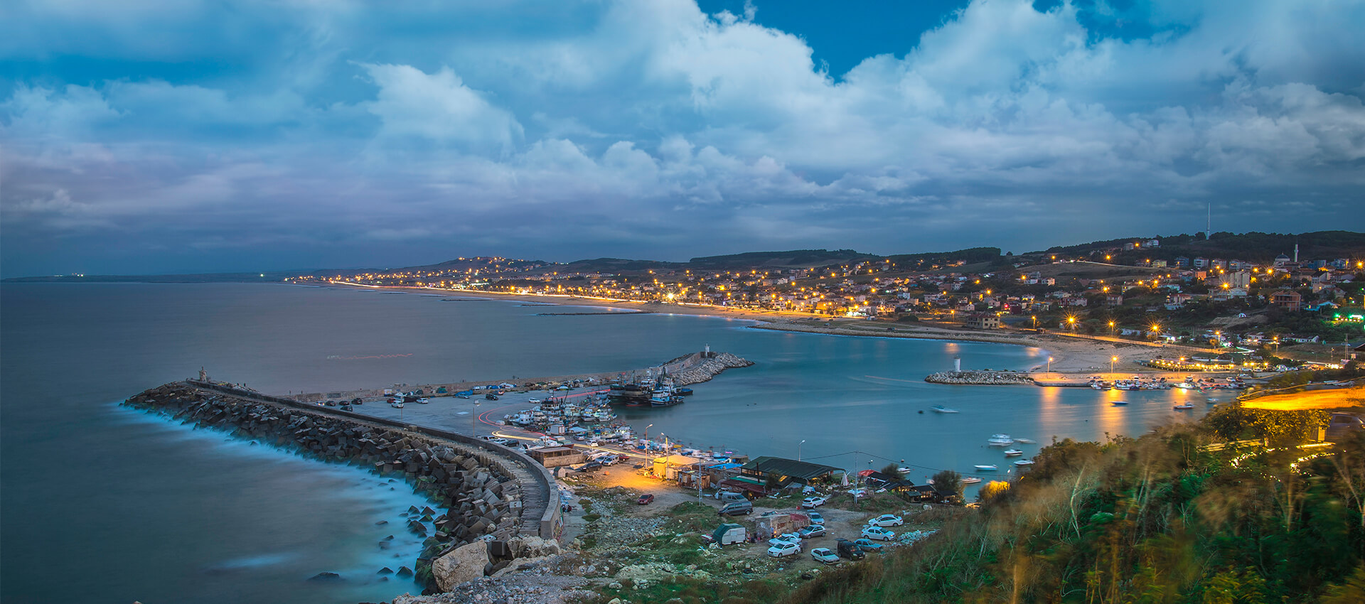
Arnavutköy is located within the Istanbul metropolitan area, but it is relatively far from the traditional centers of the city. It is about 30 km far from the Fatih-Eminönü axis and 35 km from the Mecidiyeköy-Levent axis. In addition, there is a large forested area between it and Sultangazi, the nearest district center. With this feature, it features as a partially detached area from other settlements in the metropolitan area. Arnavutköy-Boğazköy-Bolluca-Haraççı-Taşoluk settlements at the center of the district are not on the main transportation axes of Istanbul. Only the Hadımköy district is located near the TEM highway. Therefore, it was necessary to develop special lines for the transportation of the district to other centers of Istanbul.
The transportation of Arnavutköy District with other residential areas is provided by bus and minibus lines. There are bus services from the district to Eminönü, Mecidiyeköy, Cebeci, Habipler Metro Station, Gaziosmanpaşa, Fatih, Eyüp and Edirnekapı. Within the district, there are bus services from Karaburun and Hadımköy to Arnavutköy. In addition, there are dolmush and minibus lines to many points in the district, and to Sultangazi, Gaziosmanpaşa and Üçşehitler.
To make transportation to Arnavutkoy faster and more comfortable, the Habipler-Arnavutkoy divided road, built by the Istanbul Metropolitan Municipality, has been completed. The standard of the road, made as a 2x3 lane, is high. In addition, the Habipler-TEM access road has also been opened for transportation as a 2x2 lane. Apart from these, the highway projects that concern Arnavutköy and have been partially/completely built include:
Gaziosmanpaşa-Karaburun Road, Büyükçekmece-Hadımköy Bridge-Yassıören Road, Başakşehir-Ispartakule-Hadımköy Road, Sultançiftliği-Boğazköy Road, Hasdal-Karaburun Road: The rail transportation projects in the district: The Third Airport-Arnavutköy-Kayaşehir-Olympic Stadium-Halkalı-Küçükçekmece Metro Line, Habipler-Arnavutköy Light Metro Line, The Third Airport-Gayrettepe Metro Line and Sabiha Gökçen Airport-Yavuz Sultan Selim Bridge-Third Airport High-Speed Train line.
Click here for Information about Public Transportation and Alternative Means of Transportation to Arnavutkoy District.
Updated: 4 year ago


-
Hava Durumu17:13 itibariyle, Pzt 31.08.2020 - Hava Durumu Tahmini
-
PazartesiAz Bulutlu
 25°C/15°C
 -
SalıAz Bulutlu22°C/13°C
-
ÇarşambaAz Bulutlu28°C/21°C
-
PerşembeAz Bulutlu31°C/19°C
HAVA DURUMU
17:13 itibariyle, Pzt 31.08.2020 - Hava Durumu Tahmini
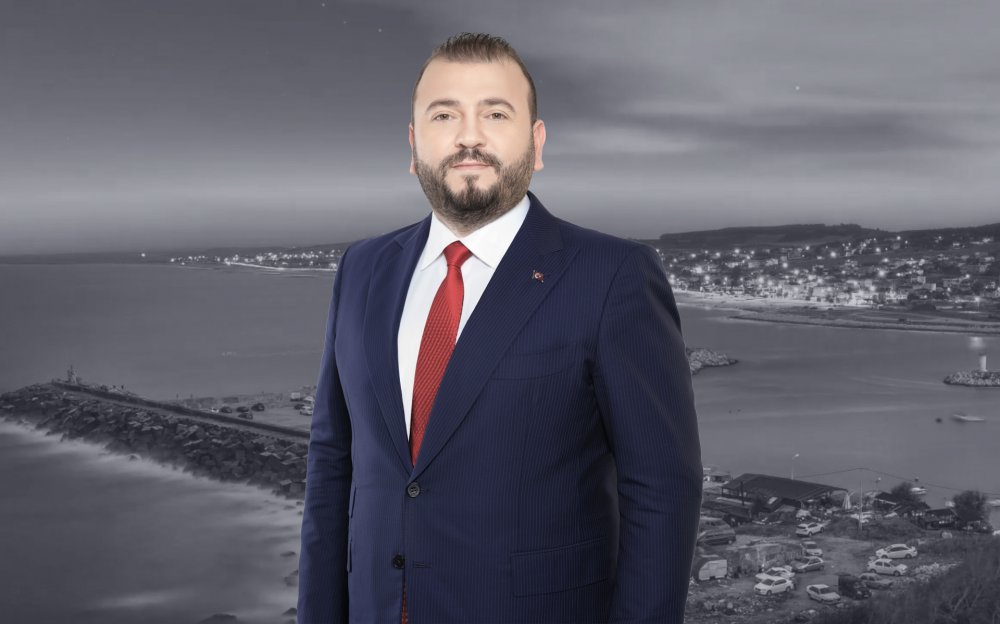
Mustafa CANDAROĞLU
President of the Municipality of Arnavutkoy
Mustafa CANDAROĞLU, originally from Cide, Kastamonu, was born on December 5, 1984, in Arnavutköy, Istanbul.
He graduated from Boğazköy Primary School in 1996, Asfa Middle School in 1999, and Sultan Fatih Anatolian High School in 2002. Completing his undergraduate education at the Faculty of Fine Arts of the International Cyprus University, Candaroğlu graduated in Interior Architecture in 2008. He completed his military service as a Short-Term Soldier at the Kayseri Regional Gendarmerie Command. After military service, Candaroğlu completed his master's education in Educational Institutions Management at Ibn Haldun University, and volunteered in various NGOs.
He served as Deputy President of the Arnavutköy Kastamonulular Association, and was a member of the boards of Arnavutköy Sports Club and Arnavutköy Beşiktaşlılar Association.
Being involved in politics throughout his education and social life, Candaroğlu served on the UNIAK Board of Directors in 2004 and actively entered politics in the Arnavutköy Belde Youth Branch in 2008. In Arnavutköy, which became a district in 2009, he held positions in District Congresses as follows: • 2009 as an Alternate Board Member of the District Primary Committee, • 2011 as a Board Member of the District Primary Committee, • 2013 as a Board Member of the District Primary Committee responsible for R&D and Local Governments. • Elected as District President in the 2018 and 2020 Congresses, Candaroğlu continues to serve as the AK Party Arnavutköy District President.
Born, raised, and currently living in Arnavutköy, Candaroğlu always finds happiness in serving in the AK Party, which practices politics based on the principle of "We love the created for the sake of the creator." After working for a long time as an Interior Architect in a family company, he continues to serve as the Chairman of the Board of Directors of Arnavutköy Bilgi Kalem College, which he founded in 2019.
Mustafa CANDAROĞLU, married and father of 3 children, speaks English proficiently.
Content is updating